Tag Archives: Weather

How Are Earthquakes Measured?

Earthquakes

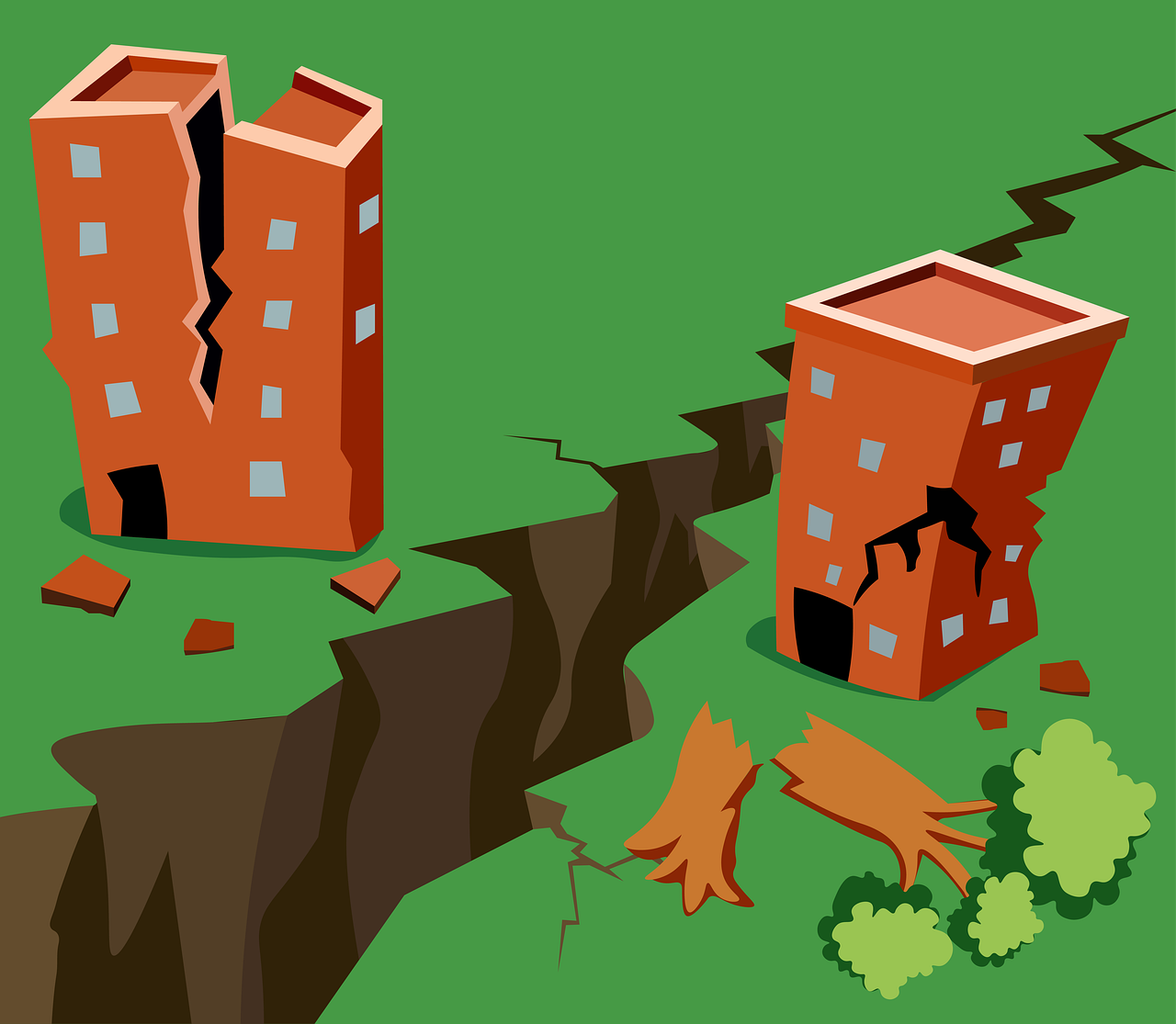
An earthquake is an intense vibration of the earth’s surface. There are two primary ways to measure earthquakes: magnitude, and intensity. These factors also determine the extent of damage caused by the earthquake.

Magnitude

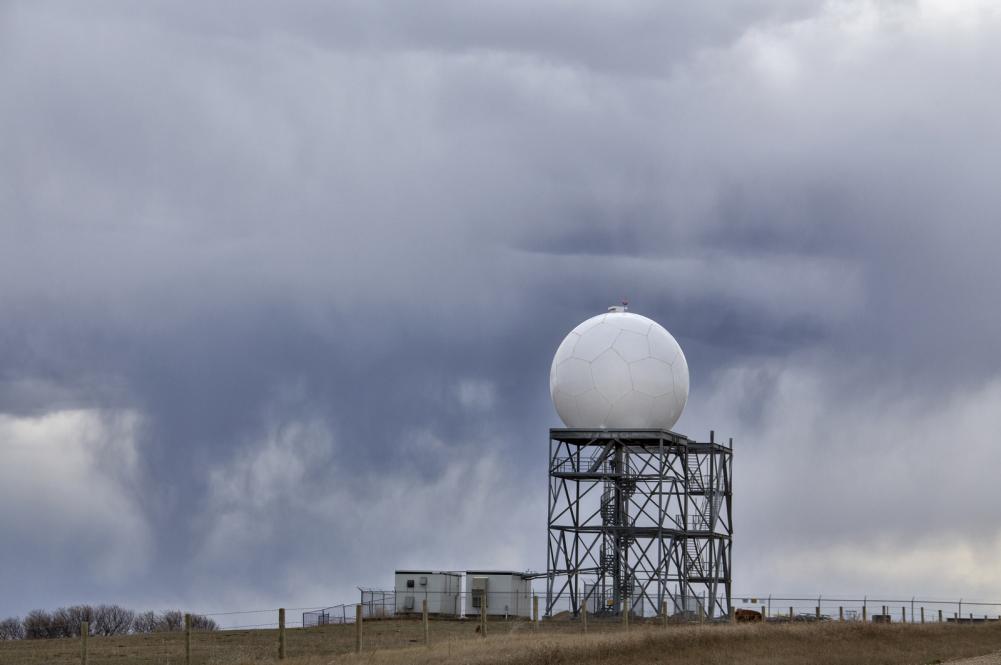
Magnitude is the most common way to measure the size of an earthquake. It is calculated on the Richter’s scale, which describes how powerful the quake was. Magnitude is measured using a machine called the seismometer. Seismometers allow us to detect and aptly record earthquakes by converting vibrations caused by seismic waves into electric signals.

There are two types of seismic waves that pass through the earth’s body:

P-Waves

These are longitudinal waves that shake the ground back and forth along the direction of travel of the wave. They travel the fastest.

S-Waves

These are traverse waves. Their motion is perpendicular to the direction of the wave. They are slower than p-waves.

The Richter Scale

Charles F. Richter invented the Richter scale in 1953 as a quantitative measure of an earthquake’s size. Until recently, earthquakes were measured using the Richter scale. However, new and improved scales have now upended the dated Richter scale.

When an earthquake occurs, its magnitude can be assigned a specific numerical value on the Richter scale. The magnitude is then measured using the logarithm of the amplitude of the largest seismic wave calibrated to a scale with a seismograph’s help. A Richter scale is typically numbered 1-10, although there is no upper limit.

Earthquakes between 1 and 2 on the scale are small and unnoticeable, while earthquakes measuring 7 or up can wreak significant havoc.

Intensity

An earthquake’s intensity measures the strength of the shaking caused by the earthquake. The intensity is usually highest at the epicenter and continues to subside as it moves away. Different tools are used to measure earthquakes’ intensity, including the Modified Mercalli Intensity scale and the European Macroseismic Scale (EMS).


With inherent flaws in the Richter scale, improvements have been made to record more accurate measurements of earthquakes, taking both magnitude and intensity into account.


Author: Amita Vadlamudi

The Doppler Radar

The Doppler Radar

A Radar sends out radio waves that reflect off of the targeted objects. The reflected radio waves return back to the radar and can be analyzed for the presence, direction, distance and speed of the targeted objects. Following the principles of a radar, the Doppler radar specifically detects the speed of an object.

Doppler radar detects the speed of an object based on the natural law of the radio waves. As the object gets closer to the source, the waves produced by an object will crowd closely together. As the object moves farther away from the source, the waves spread farther apart.

A Doppler radar system uses pulse timing techniques for measuring the range to a target. Initially used for the detection of fighter aircraft during the 60s, Doppler radar has widespread use in meteorological radars. It is used to predict the weather.

Doppler radars in weather detection systems can detect both precipitation and wind. The radar system emits a short pulse of radio waves. If the pulse strikes an object (raindrops, snowflakes, birds), the radar waves become scattered in all directions. At the same time, a small portion is reflected back towards the radar.

Computers analyze the strength of the returning signal, the time it took to travel to the object and return, and the frequency shift of the pulse. The computers convert the change in the reflected pulse of energy to determine the velocity of the object either toward or from the radar. The information about the movement of objects towards or away from the radar provides the measure of the wind speed.

Essentially, a Doppler radar system allows us to “see” the wind which enables the National Weather Service to detect different facets of the weather conditions. This feature comes in particularly handy to detect the formation of a tornado, which is why the National Weather Service can issue tornado warnings in advance.

Doppler radars are typically able to detect most precipitation within a 90-mile radius of the radar itself while it can detect snow or intense rainfall at a wider radius of 155 miles. They are not very likely to detect light snowfall or rainfall as accurately over a long distance.


A former Information Technology professional, Amita Vadlamudi currently spends time studying and researching into science and technology topics. This is one of Amita Vadlamudi’s many articles on tools and technologies used in the exploration of science.


The Sinister Temperament of Hurricanes

Hurricanes are huge, spiraling tropical storms that produce extremely high winds and massive amounts of rain. Hurricanes are categorized on the scale of 1-5. Category 5 hurricanes can produce winds at the speeds of over 160 miles (257 kilometers) an hour and rains of more than 2.4 trillion gallons (9 trillion liters) a day.

The Atlantic Ocean’s hurricane season peaks mid-August to late October and averages 5 to 6 hurricanes per year.

Hurricanes, also known as tropical cyclones, are like giant engines that use warm, moist air as fuel. That is why they only form over warm ocean water near the equator. The warm and now moist laden air moves up and away from the surface.

As the warm air rises it causes the formation of a low-pressure area below. The air from the high-pressure areas starts to fill the low-pressure area, and that air again becomes moist and warm rising from the surface. Meanwhile, the surrounding air swirls to take its place. As the warmed air cools off the water in the air forms clouds, the whole system of clouds and wind spins and grows fed by the oceans heat and water evaporating from the surface.

According to meteorologist Phil Klotzbach of Colorado State University, hurricanes move the heat from the warm equilateral regions to colder Polar Regions, which is why they form on warm water near the equator. They also help radiate heat out of the tropics into space.

The US history has seen some of the deadliest hurricanes which have claimed the lives of many. Some of those hurricanes are:

  • Hurricane of the 1900s which took the lives of approximately 6000 to 12000 Americans in Galveston, Texas, was known as the Great Storm by the locals. This hurricane hit Galveston with winds up to 22 km.h (135 mph) and 4.5 m (15ft) tides.
  • Okeechobee hurricane of 1928 took 2,500 Florida citizens with its winds. This was the second storm in US history to reach category 5. The water had covered the Lake Okeechobee region 15 ft (6m) deep, killing mostly the migrant workers.
  • The Hurricane Katrina of 2005 took the lives of 1,836 New Orleans citizens. About 80% of the historic New Orleans was covered in water. The levels designed to protect it incurred 53 individual failures and the low lying city was inundated.

The hurricanes may form to provide a sort of balance on both poles, but they tend to claim the lives of dozens if and when they shift the wrong way.

The author of this article Amita Vadlamudi is enthusiastic about reading and researching scientific subjects. Amita Vadlamudi has published articles on various subjects on many of her web sites.